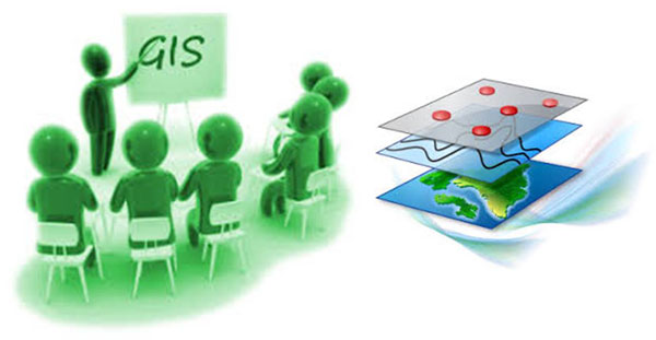
A geographic information system (GIS) is a computer system designed to capture, store, manipulate, analyze, manage, and present all types of geographical data.
GIS is a very important tool which is used to assit in various Town Planning applications.
Examples include:Emendo (Pty) Ltd provides assistance to Municipalities in various aspects using GIS.
Assistance includes, but is not limited to:
Emendo (Pty) Ltd provides training of personnel to use and understand GIS systems and data.
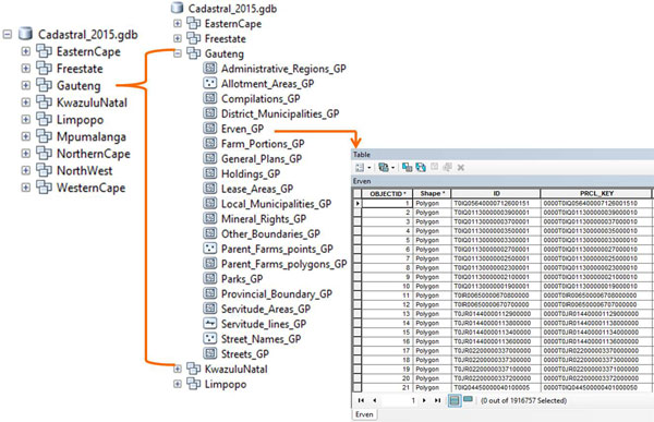
Training includes, but is not limited to:A database that is optimized for storing and querying data that represents objects defined in a geometric space.